Africa Beyond the Headlines: What Is Known and What Is Overlooked
A gazetteer of African travel that maps the documented and the overlooked, from West Africa's Vodun coast to the continent's living traditions beyond the safari circuit.
A Gazetteer of African Travel: the Documented and the Undocumented
Africa's documented travel narrative runs from the savannahs of the Serengeti to the beaches of Zanzibar. That strip accounts for roughly half the continent's visitor traffic and nearly all of its marketing budget. The undocumented half, the stretch that resists easy packaging, begins where the safari circuit ends. West Africa's Vodun coast, the Sahel's trade routes, and the continent's living religious traditions demand something harder from a traveller than booking a lodge. They demand patience with patchy roads, comfort with visible poverty, and a willingness to learn French or hire a translator. If you want depth beyond a game drive, start in Benin.
- Regions Covered: Maghreb, Sahel, West African coast, East African highlands, Southern cone
- Best Travel Window (West African Coast): November to March. Dry season, lower humidity, laterite roads passable.
- Best Travel Window (Sahel): November to February. 20, 30°C daytime; harmattan dust haze in December and January.
- Best Travel Window (East African Highlands): June to September and December to February. Dry trails for trekking.
- Best Travel Window (Southern Cone): May to October. Dry season winter, wildlife viewing peaks August to October.
- Maghreb Travel Character: Mediterranean coastal cities, medinas, Roman ruins, Atlas Mountains trekking. French widely spoken. Infrastructure relatively developed.
- Sahel Travel Character: Semi-arid strip south of Sahara. Long overland distances. Camel trekking, mud architectural sites. Security constraints in parts of Mali, Niger, Burkina Faso, Chad.
- West African Coast Travel Character: Tropical and humid. Coastal capitals connected by paved corridors. Bush taxi networks dense. Visa on arrival limited. Yellow fever certificate strictly enforced at land borders.
- East African Highlands Travel Character: Rift Valley landscapes, high altitude trekking (Kilimanjaro 5,895 m, Rwenzori 5,109 m), lake ferries. E-visa systems common for Kenya, Rwanda, Uganda.
- Southern Cone Travel Character: Temperate south, desert (Namibia, Botswana), self-drive 4x4 circuits. Most developed road network on the continent. Visa-free access for many Western passports.
- Longest Overland Bus Route: Lagos to Dakar via coastal highway. Approximately 4,500 km. 5 to 7 days with border waits.
- Yellow Fever Certificate Requirement: Mandatory for entry to most African countries if arriving from a yellow-fever-endemic country. Rewuired from all arriving travellers in 17 countries. Single dose gives lifetime validity from 11 July 2016.
- Malaria Prophylaxis Recommendation: Recommended for all regions except the Maghreb (north of the Sahara), high altitude East Africa above 2,000 m, and the Southern cone south of the Zambezi in dry season.
Benin: a Case Study in the Undocumented Half
Benin is raw, humid, and culturally dense in ways that surprise first timers. Vodun is not a tourist show here. It is a living religion practised in courtyards and temples across the south. Poverty is visible. Infrastructure is patchy. English is rare. The pace is slow. Travellers who expect polished West African tourism find it harder than anticipated. That is the point.
Benin suits anthropology and religion researchers, adventurous solo travellers, photographers chasing authentic ceremonies, and history buffs focused on the transatlantic slave trade. It also works for return visitors to West Africa looking for a less trodden path. It is not for first time Africa visitors, beach resort seekers, or families with young children needing predictable comforts. Skip it if you need reliable Wi-Fi, nightlife, or easy logistics. Skip it if you are unwilling to use French or hire a translator.

How to Navigate Benin Without a Tour
Setting Your Itinerary
Book a minimum of seven days. Distances are short but roads are bad, and the key Vodun and historical sites are spread across the south, centre, and north. The most common mistake is trying to cover the whole country in under a week. Benin's roads are slow, and the north-south journey from the coast to Pendjari alone eats two full days return. Rushing means missing the ceremonies and conversations that make the trip worthwhile.
Arrival and First Moves
Arrive at Cadjehoun Airport (COO). Taxis from the airport to the centre take 15 to 30 minutes and cost XOF 3,000 to 5,000. Negotiate before getting in. No ride-hailing apps operate reliably. For those arriving overland, the Sèmè-Kraké border with Nigeria and the Hillacondji border with Togo are the main entry points.
Getting around means shared taxi-brousse (bush taxi) and zemidjan (moto-taxi). Zemidjan rides need cash in small denominations: XOF 100 to 500 for short hops. The thing that trips visitors up: zemidjan drivers rarely know street names. You navigate by landmarks. Pharmacies, roundabouts, hotels. Carry a lightweight helmet if you plan to use motos daily. Helmets from drivers are scarce.
When To Go and What To Avoid
Peak season runs December to February. Dry harmattan winds lower humidity and keep laterite roads passable. This is also when major Vodun festivals cluster, especially January 10, Fête du Vodoun in Ouidah. Avoid March to May and September to October. The long and short rainy seasons turn unpaved roads to mud, especially in the north and around lake villages. Also avoid the week around August 1, Independence Day, in the coastal capital if you want quiet hotels.
Where To Stay and What To See
Base yourself in the south first, then move north to Abomey, then Natitingou, then Pendjari. The coastal city is a chaotic economic hub with markets, nightlife, and lagoon side sprawl. Ouidah is solemn with slave-route history and is the Vodun epicentre. Abomey holds the Royal Palaces, a UNESCO site. Natitingou sits at the edge of Somba country with cooler hills and Tata houses. Boukoumbé is remote with Tata somba fortress-homes in the animist heartland. Ganvié is a stilt village on Lake Nokoué. It is a day trip only.
Key landmarks include the Route des Esclaves and Door of No Return in Ouidah, the Temple of Pythons in Ouidah, the Royal Palaces of Abomey, Ganvié stilt village, and the Tata Somba houses in Boukoumbé. At the Tata houses, ask the chief's permission before photographing. Pendjari National Park requires advance booking for lodge and guide. In the capital, visit Dantokpa Market but watch for pickpockets. The Sacred Forest of Kpassè in Ouidah and the Grotte Notre-Dame d'Arigbo in Dassa-Zoumè are worth the detour.
Eating and Local Friction
Eat grilled fish with pimentade sauce at Grand-Popo beach shacks. Try igname pilée (pounded yam) with peanut sauce in Parakou. Find acarajé (black-eyed pea fritters) from street vendors in Porto-Novo. Wagasi cheese from Fulani herders, fried and sold at Dantokpa. Drink sodabi palm spirit, especially infused with roots, in Ouidah.
ATMs frequently reject foreign Visa cards. Carry euros or dollars as backup and change at banks in the coastal capital. Police roadblocks on RNIE highways are frequent and ask for small bribes or passport checks. Keep photocopies. Public toilets are rare and pay-per-use with no toilet paper. Carry your own. Power cuts are common outside the main city. A power bank is essential.
Buy a MTN or Moov Africa SIM at the airport or an agency with a passport photo. 4G is decent in the south but patchy in the north and inside Pendjari. Download offline maps and French translation before leaving the city.
| Region | Travel Character | Best Travel Window | Rain Impact |
|---|---|---|---|
| Maghreb | Mediterranean coastal cities, medinas, Roman ruins, Atlas Mountains trekking. French widely spoken. Infrastructure relatively developed. | March to May, September to November. 15–28°C coastal. Sahara excursions October to April. | Minimal. Coastal rains November to February, negligible effect on travel. |
| Sahel | Semi-arid strip south of Sahara. Long overland distances. Security constraints in parts of Mali, Niger, Burkina Faso, Chad. Camel trekking, mud architectural sites. | November to February. 20–30°C daytime. Harmattan dust haze December to January. | June to September. Unpaved roads become impassable. Flooding in Niger, Chad, Mali. |
| West African coast | Tropical and humid. Coastal capitals connected by paved corridors. Bush taxi networks dense. Visa on arrival limited. Yellow fever certificate strictly enforced at land borders. | November to March (dry season). 25–32°C. Humidity lower. | April to October. Heavy coastal downpours. Laterite roads degrade. Some national parks close. |
| East African highlands | Rift Valley landscapes, high altitude trekking (Kilimanjaro 5,895 m, Rwenzori 5,109 m), lake ferries. E-visa systems common (Kenya, Rwanda, Uganda). Overland truck routes Nairobi–Addis Ababa. | June to September, December to February. 15–25°C. Dry trails for trekking. | Long rains March to May, short rains October to November. Some lodges close. Gorilla trekking possible year round but trails muddy. |
| Southern cone | Temperate south (South Africa, Lesotho, Eswatini), desert (Namibia, Botswana). Self-drive 4x4 circuits. Most developed road network on continent. Visa-free access for many Western passports. | May to October (dry season, winter). 10–25°C daytime. Wildlife viewing peak August to October. | November to April. Afternoon thunderstorms. Some dirt roads in Botswana, Namibia, Zambia become impassable. Kalahari and Namib accessible year round. |

What the Documented Half Offers: Maghreb to Southern Africa
Morocco, Senegal, Ghana, Kenya, Tanzania, South Africa, and Namibia are the countries covered in depth on this site. Each opens a door to its region. Morocco is the entry to the Maghreb with well developed independent travel infrastructure and high visitor volume. Senegal is the most stable Sahel country entry point with direct flights from Europe and North America and an overland hub to West Africa. Ghana offers visa on arrival for many African and some Western nationalities, reliable domestic transport, and English as the working language. Kenya is the East African hub with an e-visa system and a safari-to-coast circuit. Tanzania covers Kilimanjaro trekking and Zanzibar with distinct overland routes to Malawi and Zambia. South Africa has the most developed infrastructure, self-drive as the norm, and long-term visa-free access for many passports. Namibia offers self-drive 4x4 desert circuits, low population density, and visa-free entry for many passports linked to Botswana and South Africa overland routes.
For visa and entry rules, getting into each country, moving between its towns, and money matters, see the individual country guides. Those pages own those details.
Countries in Africa
-
 Angola
’s interior rewards the determined with the Kalandula Falls, the cool Huambo highlands, the Serra da Leba switchbacks, and the faded Portuguese towns of the coast.
Angola
Angola’s interior rewards the determined with the Kalandula Falls, the cool Huambo highlands, the Serra da Leba switchbacks, and the faded Portuguese towns of the coast.
-
 Benin
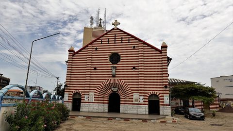
Benin end to end: a travel guide for adventurous travellers covering Cotonou, the Vodun coast, the Dahomey palaces, and the remote Atakora hills.
Benin
Benin end to end: a travel guide for adventurous travellers covering Cotonou, the Vodun coast, the Dahomey palaces, and the remote Atakora hills.
-
 Botswana
 is more than the Okavango Delta—its large villages, museums, and long roads reveal a country of deep history and quiet cultural riches.
Botswana
Botswana is more than the Okavango Delta—its large villages, museums, and long roads reveal a country of deep history and quiet cultural riches.
-
 Burkina Faso
 offers Ouagadougou's film festival, the Banfora escarpment, and Sahel trading towns, but security constraints now define any journey here.
Burkina Faso
Burkina Faso offers Ouagadougou's film festival, the Banfora escarpment, and Sahel trading towns, but security constraints now define any journey here.
-
 Burundi
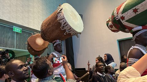
 extends beyond Bujumbura to Gitega's drum sanctuaries and the hippo-dotted Rusizi river mouth on Lake Tanganyika.
Burundi
Burundi extends beyond Bujumbura to Gitega's drum sanctuaries and the hippo-dotted Rusizi river mouth on Lake Tanganyika.
-
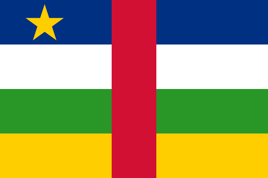 Central African Republic
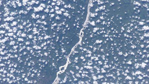
The Central African Republic recorded honestly: what travel is possible, what is not, and what the country asks of anyone who still decides to go.
Central African Republic
The Central African Republic recorded honestly: what travel is possible, what is not, and what the country asks of anyone who still decides to go.
-

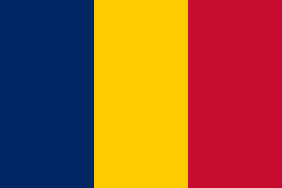 Chad
Chad's Sahel towns, the shores of Lake Chad, and the Ennedi massif form a journey through three realities that few travellers ever connect.
Chad
Chad's Sahel towns, the shores of Lake Chad, and the Ennedi massif form a journey through three realities that few travellers ever connect.
-
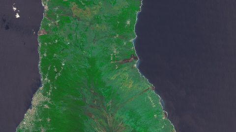
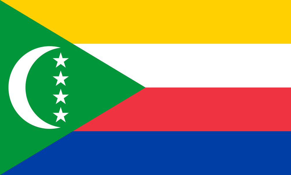 Comoros
The Comoros archipelago unfolds across three islands: Grande Comore's volcano, Anjouan's old sultans' town Mutsamudu, and Mohéli's marine reserve.
Comoros
The Comoros archipelago unfolds across three islands: Grande Comore's volcano, Anjouan's old sultans' town Mutsamudu, and Mohéli's marine reserve.
-
 Democratic Republic of the Congo
Lubumbashi, Kisangani, Mbuji-Mayi, and Kolwezi are the DR Congo’s distant urban realities—mining towns and river ports with their own rhythms, far from Kinshasa.
Democratic Republic of the Congo
Lubumbashi, Kisangani, Mbuji-Mayi, and Kolwezi are the DR Congo’s distant urban realities—mining towns and river ports with their own rhythms, far from Kinshasa.
-
 Djibouti
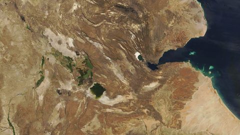
 is a small country that is mostly landscape: Lac Assal's salt crust, whale sharks in the Gulf of Tadjoura, and the Goda Mountains rising from the rift.
Djibouti
Djibouti is a small country that is mostly landscape: Lac Assal's salt crust, whale sharks in the Gulf of Tadjoura, and the Goda Mountains rising from the rift.
-
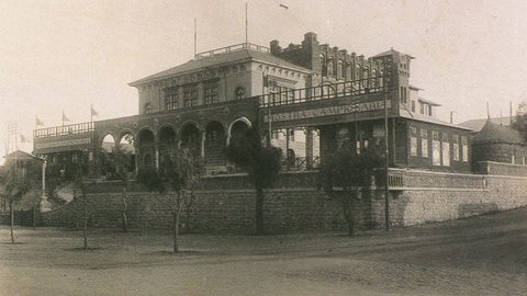
 Eritrea
 rewards patient travellers with Asmara's UNESCO-listed modernist architecture and the dramatic road down to Massawa on the Red Sea.
Eritrea
Eritrea rewards patient travellers with Asmara's UNESCO-listed modernist architecture and the dramatic road down to Massawa on the Red Sea.
-

 Eswatini
 packs mountains, wildlife reserves, and vibrant craft markets into one of Africa's smallest, easiest-to-navigate kingdoms.
Eswatini
Eswatini packs mountains, wildlife reserves, and vibrant craft markets into one of Africa's smallest, easiest-to-navigate kingdoms.
-
 Gambia
The Gambia follows its river inland: from coastal Banjul to Basse, past mosques, market towns, and the slow rhythms of a country most travellers only see from a beach bar.
Gambia
The Gambia follows its river inland: from coastal Banjul to Basse, past mosques, market towns, and the slow rhythms of a country most travellers only see from a beach bar.
-
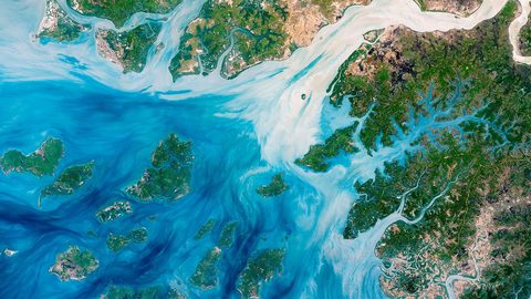
 Guinea-Bissau
's Bijagos archipelago and scattered mainland towns like Cacheu and Bafatá form one of West Africa's most logistically demanding but richly layered journeys.
Guinea-Bissau
Guinea-Bissau's Bijagos archipelago and scattered mainland towns like Cacheu and Bafatá form one of West Africa's most logistically demanding but richly layered journeys.
-
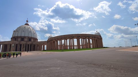
 Ivory Coast
Cote d'Ivoire moves from Abidjan's urban pace to Yamoussoukro's vast basilica and the slow lagoon towns of Grand-Bassam and Assinie.
Ivory Coast
Cote d'Ivoire moves from Abidjan's urban pace to Yamoussoukro's vast basilica and the slow lagoon towns of Grand-Bassam and Assinie.
-
 Liberia
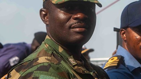
 beyond the headlines: riding empty waves at Robertsport, navigating Monrovia's bruised streets, and hauling into the wet drum of Sapo National Park.
Liberia
Liberia beyond the headlines: riding empty waves at Robertsport, navigating Monrovia's bruised streets, and hauling into the wet drum of Sapo National Park.
-
 Mali
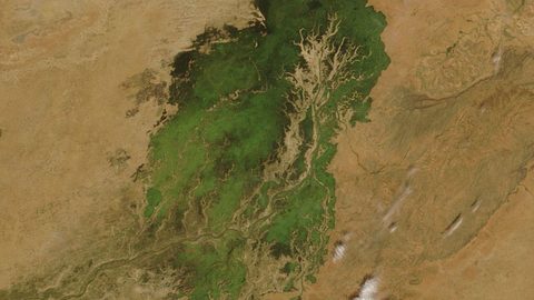
Mali's deep history—from Bamako's riverbank guitars to the mud mosques of Djenné—persists, even as conflict bars the northern routes.
Mali
Mali's deep history—from Bamako's riverbank guitars to the mud mosques of Djenné—persists, even as conflict bars the northern routes.
-

 Nigeria
’s ancient cities—Kano, Zaria, Jos, Abeokuta, and Aba—each hold a distinct history and rhythm that independent travellers can reach with patience and local guidance.
Nigeria
Nigeria’s ancient cities—Kano, Zaria, Jos, Abeokuta, and Aba—each hold a distinct history and rhythm that independent travellers can reach with patience and local guidance.
-
 Togo
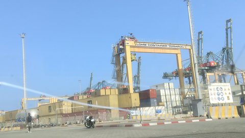
Togo packs West Africa's density into a narrow strip, from the spiritual epicenter of Togoville to the wildlife corridors of Kéran National Park.
Togo
Togo packs West Africa's density into a narrow strip, from the spiritual epicenter of Togoville to the wildlife corridors of Kéran National Park.
-
 Uganda
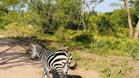
 beyond the gorillas means Lake Victoria's Ssese Islands, Jinja's river town pace, and markets that hum with a vitality no permit can capture.
Uganda
Uganda beyond the gorillas means Lake Victoria's Ssese Islands, Jinja's river town pace, and markets that hum with a vitality no permit can capture.
Common Questions
Is Benin safe for solo travellers?
Yes, with standard precautions. Petty crime occurs in markets and on crowded zemidjans. Police roadblocks are common but manageable. The south is stable. Avoid the far north near the border with Burkina Faso and Niger due to security concerns. Travel by day.
Do I need a guide for Benin?
Not for the whole trip, but hire one in Ouidah for the Route des Esclaves and in Boukoumbé for Tata Somba houses. A French-speaking driver-guide for the north-south route saves hours at police stops and translates negotiation with zemidjan drivers. Budget XOF 30,000 to 50,000 per day.
Can I use US dollars in Benin?
No. The West African CFA franc (XOF) is the only legal tender. Euros and US dollars are exchanged at banks and licensed bureaux in the coastal capital. ATMs give CFA but reject many foreign Visa cards. Carry euros as backup. Do not rely on card payments outside upscale hotels in the main city.
What is the one thing I should pack for Benin?
A lightweight helmet for zemidjan rides. Drivers rarely provide one. Pair it with a power bank for daily power cuts and a photocopy of your passport for the frequent police roadblocks on the RNIE highway. Download offline maps and a French phrase app before you land.
Read next
-
Central African Republic
The Central African Republic recorded honestly: what travel is possible, what is not, and what the country asks of anyone who still decides to go.
-
Botswana
Botswana is more than the Okavango Delta—its large villages, museums, and long roads reveal a country of deep history and quiet cultural riches.
-
Nigeria
Nigeria’s ancient cities—Kano, Zaria, Jos, Abeokuta, and Aba—each hold a distinct history and rhythm that independent travellers can reach with patience and local guidance.
-
Democratic Republic of the Congo
Lubumbashi, Kisangani, Mbuji-Mayi, and Kolwezi are the DR Congo’s distant urban realities—mining towns and river ports with their own rhythms, far from Kinshasa.
-
Burkina Faso
Burkina Faso offers Ouagadougou's film festival, the Banfora escarpment, and Sahel trading towns, but security constraints now define any journey here.
-
Angola
Angola’s interior rewards the determined with the Kalandula Falls, the cool Huambo highlands, the Serra da Leba switchbacks, and the faded Portuguese towns of the coast.
-
 Getting to Nauru, the Pacific State Where Air Schedules Define Your Stay
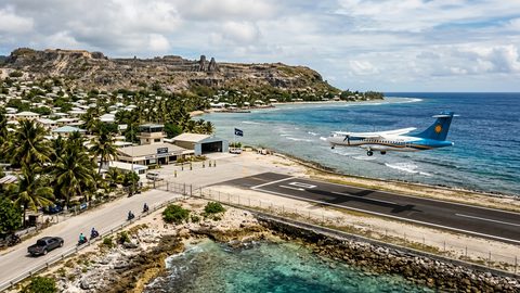
A logistics briefing on reaching Nauru by air — covering weekly flights from Brisbane and Honiara, visa-on-arrival requirements, and planning around fixed departure dates.
Getting to Nauru, the Pacific State Where Air Schedules Define Your Stay
A logistics briefing on reaching Nauru by air — covering weekly flights from Brisbane and Honiara, visa-on-arrival requirements, and planning around fixed departure dates.
-
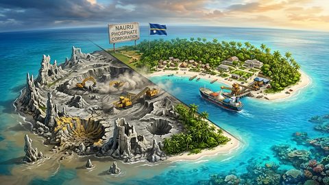 Nauru, the Pacific Republic That Phosphate Built and Nearly Erased
Nauru is one of the Pacific's most overlooked republics. A candid guide to topside, Buada Lagoon, colonial history, and how to actually get there.
Nauru, the Pacific Republic That Phosphate Built and Nearly Erased
Nauru is one of the Pacific's most overlooked republics. A candid guide to topside, Buada Lagoon, colonial history, and how to actually get there.
-
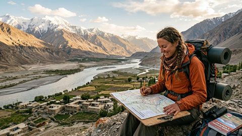 Planning Independent Travel in the Wakhan Corridor, Tajikistan
Independent travel in Tajikistan's Wakhan Corridor: GBAO permits, road conditions from Ishkashim, realistic travel windows, and honest logistics for serious overlanders.
Planning Independent Travel in the Wakhan Corridor, Tajikistan
Independent travel in Tajikistan's Wakhan Corridor: GBAO permits, road conditions from Ishkashim, realistic travel windows, and honest logistics for serious overlanders.