The Gambia Up River
The Gambia follows its river inland: from coastal Banjul to Basse, past mosques, market towns, and the slow rhythms of a country most travellers only see from a beach bar.
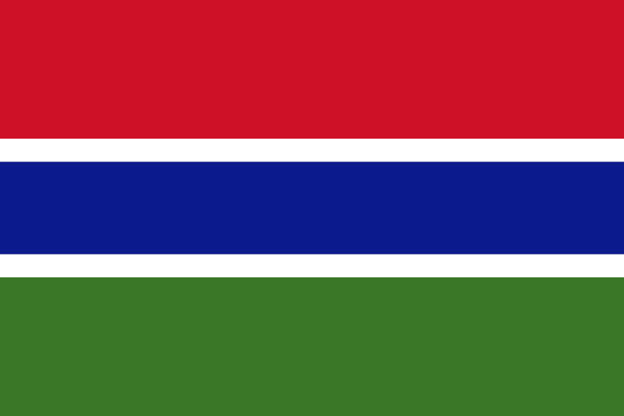
- Flag
-
- ISO code
- GM
- Population
- 2,280,102
- Currency
- GMD
- Dial code
- +220
The Gambia’s River Towns: Brikama, Soma, Janjanbureh
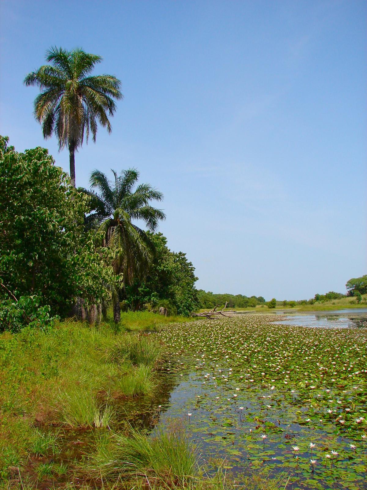
The boat at Soma sits low in the brown water, its deck stacked with sacks of rice and crates of yellow soap, passengers pressed against the rails as the ferryman guns the outboard against the current. Most visitors never see this crossing. They stay on the coast, where the Atlantic washes the feet of all-inclusive resorts and the loudest sound is a cocktail blender at sunset. That is a mistake. The river is Gambia's organising spine, a 1,130-kilometer corridor that defines the country. Follow it inland from Banjul to Basse Santa Su and you trade beach-towel stasis for a different country entirely: one defined by Friday mosque traffic in Brikama, the ferry shuffle at Soma, and the slow colonial decay of Janjanbureh.
The inland route changes how you understand the country. Coast people talk about the Gambia as a beach holiday. River people know it as a thread of settlements held together by water, dust, and diesel.

- Route Length: Banjul to Basse Santa Su takes 7 to 10 hours by road in dry season.
- Road Condition East of Farafenni: Laterite and dirt. Impassable to standard vehicles from July to September.
- Soma Ferry: Daylight hours only, no fixed schedule, 15 to 30 minute crossing depending on tide. The only river crossing on the south bank route east of the Senegambia bridge.
- ATM Availability Beyond Brikama: None. ATMs exist in Brikama (GTBank, EcoBank). No reliable machines in Gunjur, Soma, or Bansang.
- Card Acceptance Inland: Cash only. No card terminals at guesthouses, markets, or fuel stations east of the coastal strip.
Leaving the Coast: Brikama and the First Shift
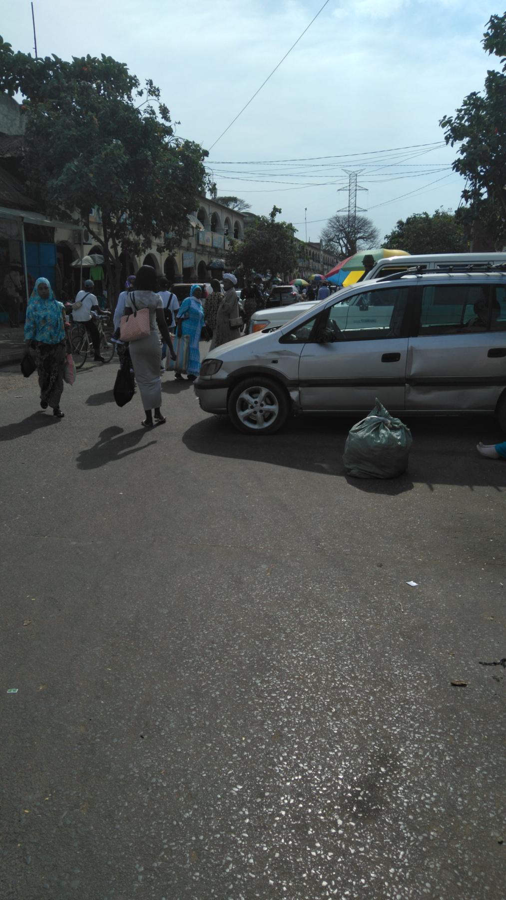
Leave Banjul by shared bush taxi, a seven-seat Peugeot or a minibus that waits until full before it moves. The first real stop is Brikama, 40 minutes inland. Most guidebooks sell Brikama as a craft market stop, and the market is the largest woodcarving and batik concentration in the country, open daily and thick with the smell of fresh cedar and drying dye. But Brikama matters for a different reason. Its central mosque anchors a town that has grown from a farming village into the country's second-largest urban centre, and Friday prayers here draw men from the surrounding cassava and groundnut farms. You cannot enter the mosque itself as a non-Muslim, but walk the sandy lanes around it at prayer time and watch how the town reorganises itself around the call. That is the first signal that you have left the resort corridor.
Where to Buy Without the Pitch
Skip the tourist-oriented workshops on the main road. Walk to the backstreets behind the mosque where carvers work without a sales pitch. Prices run 30 to 50 percent lower than anything you see at the coastal hotel craft markets. Budget for cash: Brikama's ATMs work, but the GTBank machine sometimes runs dry on weekends.
Soma: the Ferry and the River Spine
Soma is the hinge of the journey, the point where the road meets the water and you must wait. The vehicle ferry crosses the Gambia River here, operating daylight hours only with no fixed schedule. You drive onto a metal ramp, park beside a truck loaded with sacks of charcoal, and sit for 15 to 30 minutes depending on the tide and the driver's patience. Do not try to cross after 18:00 when the ferry stops running. A missed crossing means an overnight stop in Soma, a market town with basic guesthouses and no bank.
Soma is not a tourist town. It is a grain and livestock market where herders from the north bank bring cattle south and traders from Basse bring dried fish west. The market day cycles every four days in the traditional Mandinka calendar, and on market mornings the town swells with vendors selling cloth, soap, phone chargers, and fried dough. Buy the grilled tilapia from the women at the ferry landing. It costs 50 to 100 dalasi and it is the best meal on the route.
Bansang and the End of the Road
East of Soma the paved road ends. From here to Basse, the surface is laterite and dirt, deeply corrugated in dry season and impassable from July through September to any vehicle without four-wheel drive and high clearance. Bansang is the last settlement with a basic government health centre, which tells you how remote the route gets. If you or your driver has mechanical trouble beyond Bansang, help is hours away. Check your spare tyre and water supply at the Bansang petrol station, the last reliable fuel point before Basse. For a similarly remote Sahelian journey far to the northeast, Dori in Burkina Faso shares the same deep rhythms of river trade and Friday markets.
| Segment | Distance | Typical Time | Road Surface | Key Note |
|---|---|---|---|---|
| Banjul to Brikama | 40 km | 45 min | Paved | Traffic can double time during Friday prayer rush |
| Brikama to Soma | 110 km | 2 to 3 hrs | Paved to Farafenni, then laterite | Police checkpoint near Farafenni; have passport photocopy ready |
| Soma ferry crossing | 1 km | 15 to 30 min | Water | Daylight only; last departure roughly 18:00 |
| Soma to Bansang | 80 km | 2 to 3 hrs | Laterite | Impassable by standard car in rainy season |
| Bansang to Basse Santa Su | 60 km | 1.5 to 2 hrs | Laterite | Last fuel in Bansang; no ATM in Basse |

Janjanbureh: the Colonial Pause
Janjanbureh, called Georgetown until the name was restored in 1995, sits on MacCarthy Island in the middle of the river. You reach it by a small ferry from the south bank, a five-minute crossing that lands you on an island of crumbling colonial architecture and mango trees. The British built this as their administrative hub in the interior, and the ruins of the 1830s fort, the old courthouse, and the Presbyterian mission school are still there, half-swallowed by hibiscus and termite trails. It is not a polished attraction. The buildings are neglected, the museum is small and sometimes locked, and the road around the island is sand and gravel. That is exactly why you should go.
Janjanbureh is the place where the Gambia's river story becomes legible: the British used the river to move groundnuts and authority inland, and the island was the fulcrum. Spend one night at the island's guesthouse; there is no electricity after 22:00, so bring a power bank and a book.
Chimpanzees and the Permit You Must Arrange Early
Before you leave, hire a pirogue from a local boatman to circle the island at dawn. The chimpanzees of River Gambia National Park are visible from the channel, though you cannot enter the park itself without prior written approval from the Department of Parks and Wildlife Management in Banjul. If you want to see the chimps up close, that permit must be arranged before you leave Banjul, not on arrival at the river.
Common Questions
How do I get from Banjul to the Soma ferry?
Shared bush taxis (sept-place) leave from Banjul's main garage. The trip to Soma takes 2 to 3 hours. You transfer at Farafenni. Tell the driver you need the Soma ferry; they will drop you at the landing. No scheduled service, no seat booking, wait until the vehicle fills.
Can I visit the Gunjur central mosque as a non-Muslim?
No. Entry is not permitted for non Muslims. The mosque is active for Friday prayers only. Observe from outside the compound walls.
What happens if the Soma ferry stops before I arrive?
You sleep in Soma. There are basic guesthouses near the market, no advance booking possible, cash only. Do not attempt to cross the river by local fishing boat after dark, the current is strong and accidents happen.
Is the road to Basse Santa Su safe for independent travel?
The UK FCDO advises against all but essential travel to areas south of the river east of Brikama, including Soma, Bansang, and Basse, citing risk of banditry and lack of consular support. The US State Department notes landmine risk near the Casamance border. Make your own risk assessment, but know that emergency response is hours away.
Where do I get the permit for River Gambia National Park?
In Banjul, from the Department of Parks and Wildlife Management. Written approval is required in advance. No permits are issued at the park or at Janjanbureh. Without it, you cannot enter the park, even from the water.
Read next
-
 Getting to Nauru, the Pacific State Where Air Schedules Define Your Stay
A logistics briefing on reaching Nauru by air — covering weekly flights from Brisbane and Honiara, visa-on-arrival requirements, and planning around fixed departure dates.
Getting to Nauru, the Pacific State Where Air Schedules Define Your Stay
A logistics briefing on reaching Nauru by air — covering weekly flights from Brisbane and Honiara, visa-on-arrival requirements, and planning around fixed departure dates.
-
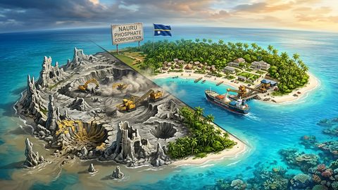 Nauru, the Pacific Republic That Phosphate Built and Nearly Erased
Nauru is one of the Pacific's most overlooked republics. A candid guide to topside, Buada Lagoon, colonial history, and how to actually get there.
Nauru, the Pacific Republic That Phosphate Built and Nearly Erased
Nauru is one of the Pacific's most overlooked republics. A candid guide to topside, Buada Lagoon, colonial history, and how to actually get there.
-
 Planning Independent Travel in the Wakhan Corridor, Tajikistan
Independent travel in Tajikistan's Wakhan Corridor: GBAO permits, road conditions from Ishkashim, realistic travel windows, and honest logistics for serious overlanders.
Planning Independent Travel in the Wakhan Corridor, Tajikistan
Independent travel in Tajikistan's Wakhan Corridor: GBAO permits, road conditions from Ishkashim, realistic travel windows, and honest logistics for serious overlanders.