Chad Between Lake and Desert
Chad's Sahel towns, the shores of Lake Chad, and the Ennedi massif form a journey through three realities that few travellers ever connect.
- Flag
-

- ISO code
- TD
- Population
- 15,477,751
- Currency
- XAF
- Dial code
- +235
Chad Between Lake and Desert
Dust rises in ropes behind the bush taxi grinding east out of N'Djamena. Thirty minutes past the last paved street, the Sahel is not a postcard. It is a long horizon of thorn scrub, mud-brick villages, and heat that presses down from every side. Chad unfolds as a journey through three distinct realities: the Sahel towns strung between the capital and the interior, the shrinking but still culturally vital Lake Chad, and the Ennedi's otherworldly rock formations. Expect honest assessments of security constraints, road conditions, and the rare reward of reaching somewhere so few travellers see.
Is This Trip for You?
Decide early. Chad demands tolerance for military checkpoints, temperatures above 40°C for months at a stretch, and the total absence of tourist infrastructure outside the capital. The reward is a landscape that looks like another planet and encounters with communities whose daily life has changed less than you might expect. If you want beach resorts, reliable Wi-Fi, or easy logistics, pick another country. If you are a photographer chasing rock arches no one in your feed has posted, an anthropologist interested in Lake Chad's mobile fishing camps, or simply a traveller who finds the word 'difficult' motivating, keep reading.
.jpg)
- Visa Required: Yes, for most nationalities. E-visa available via the official government portal (2024 process, verify before applying). Single-entry tourist visa costs XAF 30,000, 50,000 depending on nationality and processing speed.
- Airport: N'Djamena International Airport (NDJ). Served by Air France, Ethiopian Airlines, Turkish Airlines, ASKY, and EgyptAir (2024 routes). Domestic scheduled flights to Moundou, Abeche, and Faya-Largeau exist but are irregular.
- Getting Around: Shared taxis and bush taxis on main routes. For Ennedi, no public transport exists. You must join a convoy from N'Djamena.
- Best Season South (Moundou): November, February (dry season)
- Best Season Centre (N'Djamena, Am Timan, Bokoro): November, February (cooler dry season)
- Best Season North (Faya-Largeau, Ennedi): November, March (cooler months)
- Avoid South: June, September (heavy rains, roads impassable)
- Avoid North: April, October (extreme heat, sandstorms)
- Safety N'Djamena: High caution. Risk of terrorism, kidnapping, and violent crime per UK FCDO, US State Dept, and Government of Canada advisories (2024).
- Safety Lake Chad Region: Advise against all travel (all three advisories, 2024).
- Safety Ennedi and Tibesti: Advise against all but essential travel. Landmine risk present (all three advisories, 2024).
- Safety Borders: Advise against all travel to borders with Libya, Sudan, CAR, and Nigeria (all three advisories, 2024).
The Sahel Towns: N’Djamena, Moundou, Bokoro, and the Road Between Them
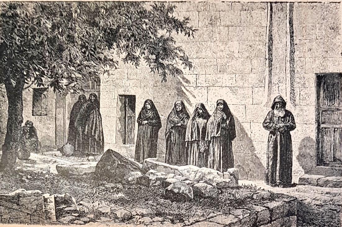
Your journey begins in the capital, a city of roughly 1.5 million people where chaotic roundabouts, diesel fumes, and the occasional camel cart coexist. Budget two full days here before heading anywhere else. You need that time to arrange permits, confirm your Ennedi booking in person, and acclimatise to the climate. The city itself offers little for the sightseer. The central market is functional and dusty. The Chad National Museum was badly damaged in the civil war and remains a shell. Spend your time instead on logistics.
Getting to Moundou and Bokoro by Bush Taxi
From the capital, shared taxis run south to Moundou, the cotton-growing hub of southern Chad. The road is paved for the first stretch, then degrades. Budget 6 to 8 hours for a journey slowed by police checkpoints and stretches of broken tarmac. Moundou is a workable overnight stop. Its quiet streets and the shade of mango trees are a genuine relief after the city. From Moundou you can head east toward Bokoro, or north toward Am Timan. Bokoro sits in the dry Sahel corridor. The Grand Mosque of Am Timan, further east, is the only architectural landmark worth a detour in this region, and only if you are already passing through. The Sahel towns serve a single purpose: they are the staging ground for what comes next.
Security Reality on the Road
Do not read the FCDO and US State Department advisories and dismiss them as bureaucratic caution. The Lake Chad basin is an active conflict zone. Boko Haram and Islamic State West Africa Province operate around the lake's islands and Nigerian border. The government maintains a heavy military presence on all main roads. You will be stopped every 50 to 80 kilometres. Carry multiple photocopies of your passport, visa, and permit. Do not argue with the soldiers. Do not photograph checkpoints. Your willingness to be searched without complaint is what keeps the interaction under five minutes. The lake region itself is under an 'advise against all travel' rating from every major government. No tour operator runs trips there. The only way to see the lake is through a military escort arranged by a licensed company, and even then the window is narrow and the risk is real.
Lake Chad: What Remains and How to See it
Lake Chad was once one of Africa's largest lakes, a sixth the size of France. It has shrunk by 90 percent since the 1960s, a victim of irrigation and climate change. What remains is a shallow sheet of water broken by reed islands, floating grass, and the temporary camps of fishing communities. The lake's cultural importance far exceeds its current geography. For centuries it sustained the Kanem-Bornu empire. Today it supports roughly 2 million people who live on its edges and islands.
You cannot get there independently. You can get there only with one of the handful of operators based in the capital that hold government permits for escorted trips into the zone. Expect to pay a premium for the military escort that will accompany your vehicle. The lake itself, when you reach it, is a flat expanse of brown water under a sky that seems twice as large as anywhere else. The fishing pirogues are narrow and unstable. The villages on stilts are sparse. You will spend maybe four hours on the water before the escort signals it is time to return. That is the entire visit. Decide whether those four hours justify the cost and the danger before you book anything. For a contrast in the other direction, Djibo offers a Sahel market town where the only escort is the dust on your boots.
| Destination | Distance from NDJ | Travel Time by 4x4 | Access Constraint |
|---|---|---|---|
| Lake Chad | 160 km north | 3–4 hours | Military escort mandatory; no public transport |
| Ennedi Massif | 900–1,000 km north-east | 5–7 days (round trip) | Convoy only; no scheduled transport; self-sufficient camping |
| Faya-Largeau | 760 km north | 2–3 days | Checkpoint-heavy; fuel points limited |
| Abeche | 800 km east | 2 days | Paved road deteriorates past Oum Hadjer |

The Ennedi Massif: Chad’s Sandstone Labyrinth
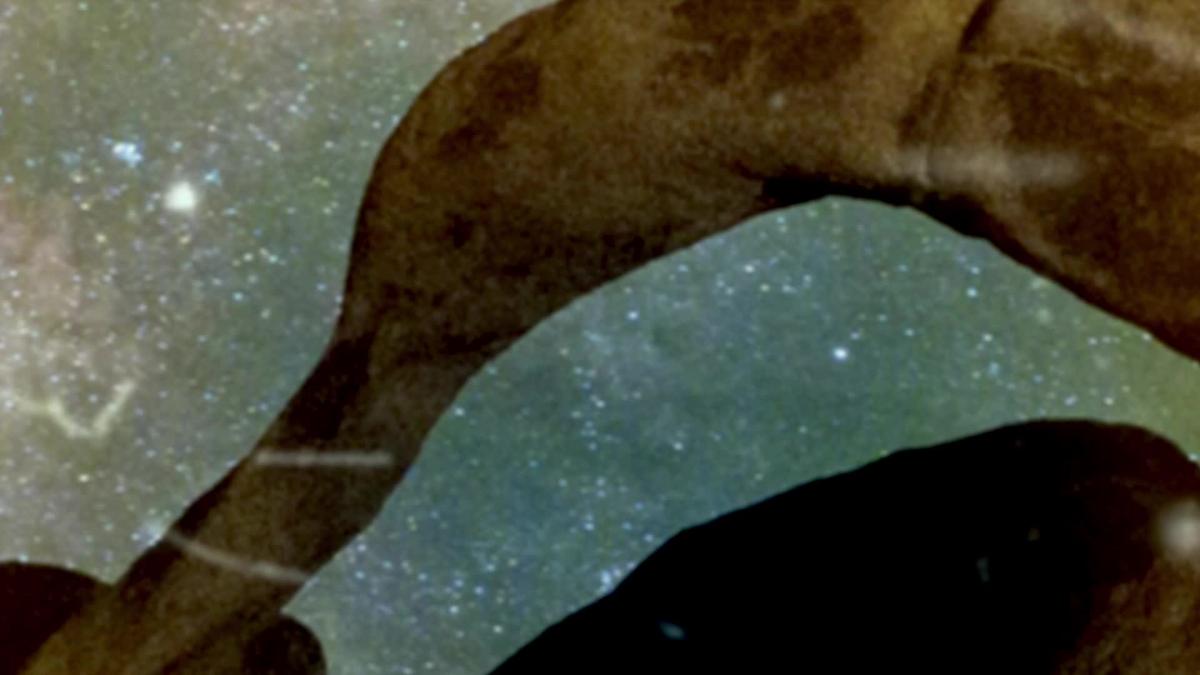
The Ennedi Massif is a UNESCO World Heritage Site, inscribed in 2016 for both its natural and cultural value. It is also the hardest place to reach in Chad’s Sahel. A handful of operators run multi-day 4x4 trips from N'Djamena. Book at least three months ahead. The convoy will include support vehicles carrying water, fuel, food, and camping gear. There are no lodges, no restaurants, no phone signal. You will camp in the open under sandstone arches that look like frozen waves. The rock formations are the draw: towers, bridges, natural arches, and canyons carved by water that last fell here in the Holocene. The Guelta d'Archei is the most famous pool, a permanent waterhole where camels come to drink and crocodiles survive in isolation. The rock art, mostly from the Neolithic period, depicts cattle, giraffes, and human figures. You will see maybe fifty other tourists in a week. That is the point.
What to Skip and What to Prioritise
Inside the massif, skip the main camel-hire station near the entry point; it overcharges and the animals are poorly kept. Instead, walk the dry riverbeds from camp at dawn. The light at 06:30 turns the sandstone orange and red, and you will have the arches to yourself. Prioritise the circuit that includes the Terkei natural bridge and the Mardolé canyon. These require two full days of driving and walking. Do not try to cover the entire massif in fewer than five days. The distances inside the protected area are deceptive: what looks like a short drive on a satellite image is a two-hour crawl over rock slabs and sand. Budget one rest day mid-trip for a zero-activity camp. Dehydration and heat exhaustion are the most common reasons trips cut short.
Common Questions
Do I need a visa for Chad?
Yes. Most nationalities require a visa. An e-visa is available through the official government portal. The single-entry tourist visa costs XAF 30,000, 50,000 depending on your nationality and processing speed. Apply at least four weeks before departure.
How do I get from N'Djamena to Ennedi?
You cannot get there independently. You must join a convoy run by a licensed operator. The trip takes 5 to 7 days round trip by 4x4. Book three months ahead. Pack your own camping gear and water.
Is it safe to travel to Lake Chad?
No. The UK FCDO, US State Department, and Government of Canada all advise against all travel to the Lake Chad region. The only access is with a government-mandated military escort arranged by a tour operator. Assess the risk seriously before booking.
What is the best time of year to visit Ennedi?
November through March. These months are cooler, with daytime temperatures around 25, 35°C instead of the 45°C+ of summer. April through October brings extreme heat and frequent sandstorms. Avoid the north entirely in those months.
Can I use credit cards in Chad?
Only in N'Djamena at a few upscale hotels and restaurants. Outside the capital, cash is mandatory. ATMs exist in the city but are unreliable. Bring enough euros or dollars to exchange, and carry a power bank for your phone.
How long should I spend on this route?
A minimum of 14 days, not including travel to and from Chad. This allows 3 days in N'Djamena for permits and logistics, 4 days for the Lake Chad escorted trip, and 7 days for the Ennedi trip. Cutting this below 10 days is unsafe.
What security documents should I carry?
Multiple photocopies of your passport photo page, visa, and permit. Keep the originals in your hotel safe. Every military checkpoint will ask to see documentation. Do not photograph soldiers or checkpoints under any circumstances.
Read next
-
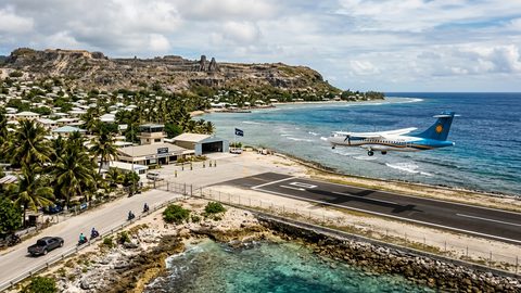 Getting to Nauru, the Pacific State Where Air Schedules Define Your Stay
A logistics briefing on reaching Nauru by air — covering weekly flights from Brisbane and Honiara, visa-on-arrival requirements, and planning around fixed departure dates.
Getting to Nauru, the Pacific State Where Air Schedules Define Your Stay
A logistics briefing on reaching Nauru by air — covering weekly flights from Brisbane and Honiara, visa-on-arrival requirements, and planning around fixed departure dates.
-
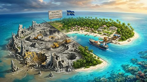 Nauru, the Pacific Republic That Phosphate Built and Nearly Erased
Nauru is one of the Pacific's most overlooked republics. A candid guide to topside, Buada Lagoon, colonial history, and how to actually get there.
Nauru, the Pacific Republic That Phosphate Built and Nearly Erased
Nauru is one of the Pacific's most overlooked republics. A candid guide to topside, Buada Lagoon, colonial history, and how to actually get there.
-
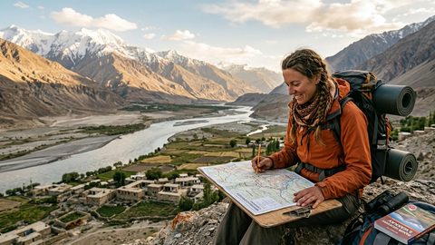 Planning Independent Travel in the Wakhan Corridor, Tajikistan
Independent travel in Tajikistan's Wakhan Corridor: GBAO permits, road conditions from Ishkashim, realistic travel windows, and honest logistics for serious overlanders.
Planning Independent Travel in the Wakhan Corridor, Tajikistan
Independent travel in Tajikistan's Wakhan Corridor: GBAO permits, road conditions from Ishkashim, realistic travel windows, and honest logistics for serious overlanders.