Travelling Timor-Leste: From Dili Over the Mountain Road to the Wild Eastern Tip
A route guide across Timor-Leste, from Dili's harbour through the mountain coffee country to the empty beaches and sacred edge of the eastern tip.
- Flag
-

- ISO code
- TL
- Population
- 1,267,972
- Currency
- USD
- Dial code
- +670
Travelling Timor-Leste: from Dili Over the Mountain Road to the Wild Eastern Tip
The chain of Nusa Tenggara does not finish at a resort. It finishes on a mountain road that climbs through coffee mist, drops into a dry eastern savannah where the Fataluku language replaces Tetun, and stops at a sacred uninhabited island you cannot sleep on. The overland journey from Dili to Jaco Island follows a serpentine road through some of the hardest and most rewarding terrain in Asia.
Here is the shortest answer: travel overland from Dili to the eastern tip by shared taxi or rental motorcycle, following the sealed but undulating road through Aileu, Maubisse, and down to the district capital of Lautém, then onward to the village at road's end. From Valu Beach, hire a local fisherman to take you across the channel to Jaco Island. The trip takes two days minimum. Three if you want to stop in the mountains. Do not try it in a single day. The road is 250 kilometres but feels longer.
.jpg)
- Visa on Arrival Cost: USD 30, cash only, at Dili airport or seaport
- Dry Season: May to November. Roads stay passable. December to April brings rain and potential closures.
- Dili to Lautém (Lospalos) Road: Approximately 250 km, sealed with unsealed sections
- Dili to Aileu Road: 47 km, sealed, steep mountain ascent
- Jaco Island Access: Boat from Valu Beach, Tutuala subdistrict. No overnight stays permitted.
- Currency: United States dollar (USD). Centavo coins are local issues. Cash required outside Dili.
- ATMs: ANZ and BNU in Dili only. Unreliable elsewhere. Withdraw enough cash before leaving the capital.
Where the Chain Ends: Dili to the Mountain Road
Your journey starts in Dili, a waterfront capital that feels like a pension-sponsored pause before the push east. The city sits at sea level with a Portuguese colonial residue in the architecture and a sleepwalking calm that subsidised hotel rates have preserved. Spend one night here. Sort your cash at an ANZ or BNU ATM. Rent a motorcycle or negotiate a shared taxi for the eastbound run. Do not expect a bus schedule. There is no scheduled intercity public transport. Your options are shared taxi, rental motorcycle, rental car with driver, or a truck on specific routes.
Climbing to Aileu
The road out of Dili goes straight up. The 47 kilometre stretch to Aileu is sealed and steep, coiling through hills that grow coffee and cool the air by more than ten degrees. Aileu sits at 1,182 metres. You stop here for the view back toward the sea, not for the town. The real reason to pause is the coffee, which comes from smallholdings around Maubisse further south. Buy a bag from a roadside stall. The altitude makes it drinkable black, which is how Timorese drink it.
Maubisse and the Coffee Belt
Southwest of Aileu, the road bends through Maubisse, the heart of the highlands. The landscape opens into rolling green that looks like a gentler version of Java but with nobody around. You share the road with microletes that carry livestock and passengers on the same bench. These minibuses run Dili routes only, so do not look for one to take you east from here. If you are on a motorcycle, you have the advantage. If you are in a shared taxi, accept the pace. The sealed surface degrades unpredictably. Potholes appear at the exact moment the driver shifts into fourth gear.
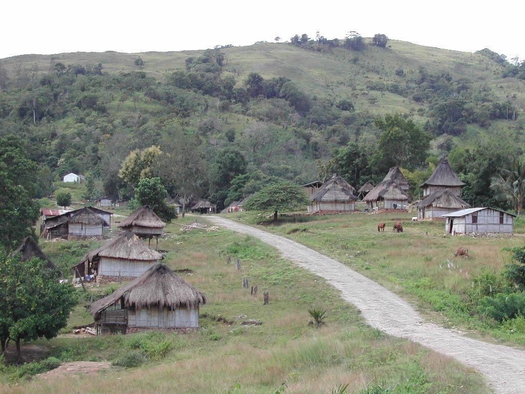
From Maubisse, the road drops eastward toward the coastal plain. The temperature rises again. The vegetation shifts from coffee green to eucalyptus and savannah grass. This is where Timor-Leste stops resembling the rest of Asia and starts looking like the far side of Australia. You are entering Fataluku territory. The language changes. The houses change. The quiet deepens.
Lospalos, Tutuala, and the Sacred Eastern Tip
The district capital sits at 346 metres and functions as your last resupply point. Fuel, water, snacks. There are no ATMs. There is one guesthouse that accepts cash only. Fill up here because the road east to the final village is the roughest stretch of the entire journey. The sealed surface gives way to unsealed sections. Your speed drops to 30 kilometres per hour. The reward is emptiness.
Tutuala and Valu Beach
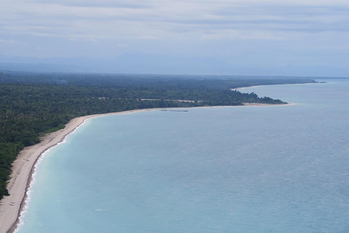
The village marks the end of the sealed road. From here, a dirt track leads down to Valu Beach, a crescent of sand that faces the channel to Jaco Island. Park your motorcycle. Find a fisherman on the beach. Negotiate a boat crossing. The price depends on the season and your Tetun, but expect to pay for the boat, not per person. The crossing takes 15 to 20 minutes depending on the swell. The water is turquoise. The sand on Jaco Island squeaks under your shoes because it is fine quartz, not coral.
Jaco Island is uninhabited and sacred. You cannot stay overnight. The island is part of Nino Konis Santana National Park, and the prohibition is enforced by local custom as much as by law. Plan to arrive mid-morning. Spend three or four hours walking the beach and snorkelling the reef. The water clarity is exceptional in the dry season, May to November. Return before the afternoon wind picks up. That is when the channel grows lumpy and the fishermen prefer not to cross.
What You Do Not Do
You do not rush. The common mistake is to try covering this route in under two days. The road from Dili to the district capital alone takes six to eight hours in a shared taxi, longer if the unsealed sections are wet. The return journey eats another day. If you push for a day trip from Dili to Jaco, you will arrive at Valu Beach at dusk and find no boat. Budget three days: Dili to Maubisse overnight, Maubisse to the eastern village, and back to Dili. Four days if you want to add a night in the highland town.
You do not rely on cards. Card acceptance is limited to upscale hotels and a few restaurants in Dili. Cash is the only option outside the capital. Withdraw enough in Dili to cover accommodation, fuel, boat hire, and food for the entire loop. A thick stack of small USD notes is a safe buffer for a solo traveller on a motorcycle. More if you are paying a driver.
What to Pack and What to Skip
Bring two things that most travellers forget. A headlamp, because power cuts are common outside Dili and guesthouses run on generators that shut down at 22:00. Earplugs, because the roosters in the highlands start crowing at 03:30 and do not stop until sunrise. Skip the formal itinerary. The road will dictate your schedule, not the other way around.
- Cash in USD, small denominations. USD 5 and USD 10 notes are easiest for meals and boat hire.
- A photocopy of your passport. Police roadblocks exist. They check papers. A copy plus the original satisfies most stops.
- A paper map or offline maps downloaded in Dili. 4G is decent in the capital but patchy in the mountains and unreliable east of the highland supply point.
- A lightweight waterproof jacket. The wet season runs December to April and some roads become impassable, but even in the dry season a mountain squall can roll in over lunch.
Skip the bulky camera gear. A phone with a good lens handles the conditions better and attracts less attention. Skip the assumption that you can hire a car in Dili and drop it at the eastern tip. Rental car companies are scarce and one-way rentals do not exist. You return to Dili the same way you left.

The Single Most Practical Thing to Do Next
Withdraw USD 400 in small denominations from an ANZ ATM in Dili before you head east. That one action prevents every problem this trip can throw at you. No card works outside the capital. No ATM exists between Aileu and the highland supply point. Cash buys you fuel, a boat, a room, and the patience of a fisherman who does not speak English. Do that first. Everything else follows the road.
Common Questions
Can I drive from Dili to Jaco Island in one day?
No. The distance is 250 kilometres, but the road includes steep mountain sections and unsealed stretches near the eastern village. The drive takes six to eight hours each way. A round trip in one day is unsafe and unrealistic.
How do I get from Dili to Lospalos without a car?
Shared taxi from Dili's Beco cluster. Negotiate the fare before boarding. Expect to pay for an empty seat and wait until the vehicle fills. Departure is early morning, usually by 07:00. There is no scheduled intercity public transport.
Is Jaco Island safe to swim from?
Yes, in the dry season. The channel from Valu Beach is calm in the morning. The current picks up after 14:00. Do not cross alone. Hire a local fisherman who knows the channel.
Can I camp on Jaco Island?
No. Jaco Island is sacred and uninhabited. The prohibition on overnight stays is enforced by the community and the national park authority. You return to the eastern village or the district capital for the night.
When is the best time to travel the mountain road?
May to November. This is the dry season. Rain between December and April turns unsealed sections into mud and can close the road east of Baucau.
Where do I stay between Dili and the eastern tip?
Maubisse has basic guesthouses with cold showers and good views. The district capital has one cash-only guesthouse. The eastern village has homestay accommodation arranged through the village chief. Book nothing in advance. Arrive and ask.
Do I need a guide to visit the eastern tip?
Not legally. But hiring a local guide in the eastern village for the boat crossing is recommended. They know the channel conditions and the sacred protocols for approaching Jaco Island.
Read next
-
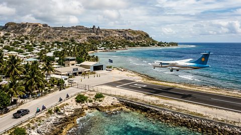 Getting to Nauru, the Pacific State Where Air Schedules Define Your Stay
A logistics briefing on reaching Nauru by air — covering weekly flights from Brisbane and Honiara, visa-on-arrival requirements, and planning around fixed departure dates.
Getting to Nauru, the Pacific State Where Air Schedules Define Your Stay
A logistics briefing on reaching Nauru by air — covering weekly flights from Brisbane and Honiara, visa-on-arrival requirements, and planning around fixed departure dates.
-
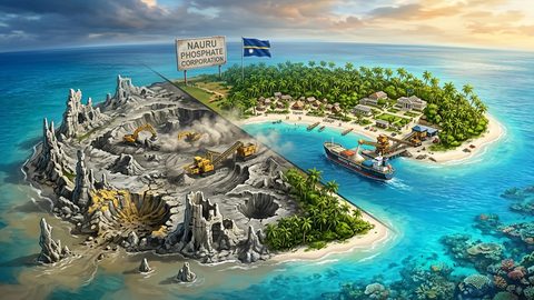 Nauru, the Pacific Republic That Phosphate Built and Nearly Erased
Nauru is one of the Pacific's most overlooked republics. A candid guide to topside, Buada Lagoon, colonial history, and how to actually get there.
Nauru, the Pacific Republic That Phosphate Built and Nearly Erased
Nauru is one of the Pacific's most overlooked republics. A candid guide to topside, Buada Lagoon, colonial history, and how to actually get there.
-
 Planning Independent Travel in the Wakhan Corridor, Tajikistan
Independent travel in Tajikistan's Wakhan Corridor: GBAO permits, road conditions from Ishkashim, realistic travel windows, and honest logistics for serious overlanders.
Planning Independent Travel in the Wakhan Corridor, Tajikistan
Independent travel in Tajikistan's Wakhan Corridor: GBAO permits, road conditions from Ishkashim, realistic travel windows, and honest logistics for serious overlanders.