Inland Honduras: Navigating Tegucigalpa, the Colonial Towns, and Highland Routes
An inland route through Honduras, from Tegucigalpa's mountain bowl to Comayagua's colonial plazas and the cool Lenca highlands around La Esperanza.
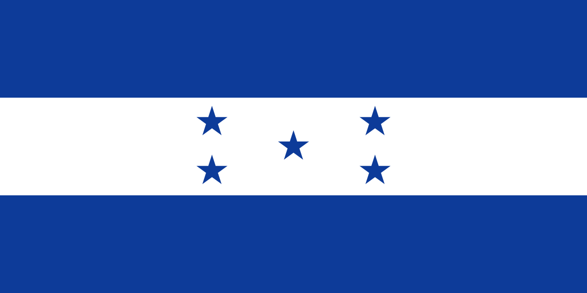
- Flag
-
- ISO code
- HN
- Population
- 9,587,522
- Currency
- HNL
- Dial code
- +504
Inland Honduras: Navigating Tegucigalpa, the Colonial Towns, and Highland Routes
You have done Antigua and Granada, and now you want the next country, the harder one. The question that stops every overlander cold is whether interior Honduras is safe enough to travel. The answer is yes, if you understand the terms. The interior is not the north coast. It is quieter, slower, and watched over by the rhythms of the Lenca highlands rather than the gang maps of the urban corridor. The risks that make the U.S. Department of State travel advisory for Honduras a Level 3 (with specific Level 4 areas in Gracias a Dios and eastern Olancho) are real but geographically contained. You avoid those zones. You stay on the Route of the Lenca between Tegucigalpa, Comayagua, the highland town of La Esperanza, and Santa Rosa de Copán. On that arc, the safety equation flips: the people you meet are the reason to come, not a reason to stay away.
- Dry Season: November to April. Rainy season runs May to October, with heaviest rain September to October. Hurricane season is June to November, peaking August to October.
- Getting Between Towns: Primary intercity bus companies are Hedman Alas, Transportes Cristina, Viana Clase Oro, and Tica Bus. Cash is required for local buses and rural purchases.
- Safety Advisory: U.S. Department of State Level 3 (Reconsider Travel), with Level 4 areas in Gracias a Dios and parts of eastern Olancho. The interior routes covered here fall outside those Level 4 zones.
- Currency: Honduran lempira (HNL). ATMs work in Tegucigalpa, Santa Rosa de Copán, and major towns but are unreliable in smaller highland villages.
- Connectivity: Mobile coverage is decent in towns but patchy on mountain roads. Download offline maps of the route before leaving Tegucigalpa.
Tegucigalpa: the Capital That Rewards Perseverance
Fly into Toncontín International Airport (TGU) and you land in a city folded into steep hills, runways so short your first impression is vertigo. Tegucigalpa does not offer instant beauty. It offers a sprawl of narrow streets, exhaust haze, and a central plaza named Plaza Morazán that feels small for a national capital. Do not judge it on the drive from the airport. Judge it after a morning spent in the markets of the Comayagüela district and a slow coffee at one of the cafes overlooking the Parque Central.
Where to Stay and How to Move
Stay in the central zone around Plaza Morazán or the colonial barrio near the cathedral. Budget for a mid-range hotel with secure parking if you are overlanding; street parking is not safe overnight. The city requires a defensive posture: keep your phone out of sight on sidewalks, use only official taxis from hotel dispatches rather than hailing from the street, and avoid walking alone after dark. These are standard Central America capital precautions. What changes in Tegucigalpa is the reward for taking them: the Museo para la Identidad Nacional gives the best single overview of Honduran history, and the rooftop of the cathedral at sunset shows you the mountains that ring the city. That is the view that explains why the capital is here at all.
The Road North to Comayagua
From Tegucigalpa, route north on the CA-5 highway toward Comayagua. The drive takes about 90 minutes. This is the busiest road in the country and the one most policed by military checkpoints. Keep your passport photocopy handy, not the original. The checkpoints are routine, not dangerous. They are looking for cargo, not tourists.

Comayagua: the Colonial Calm Before the Highlands
Comayagua was the colonial capital of Honduras, and it reads as a place that has stopped competing. The central plaza is well kept, the cathedral holds one of the oldest clocks in the Americas, and the streets are wide enough to feel unhurried. Arrive by mid-morning. Spend two hours on the cathedral interior and the adjacent Museo de Comayagua, then eat lunch at one of the comedores on the plaza. The town is walkable, safe, and flat. This is where you recalibrate from the intensity of Tegucigalpa.
Do not skip this colonial waypoint just because it is a tourist stop. Every overlander who rushes past misses the value of a transition point. From here, the road climbs southwest toward La Esperanza. The highway narrows. The pavement holds but the shoulders disappear. Fill your tank here; the next reliable gas station is in Siguatepeque, 40 minutes up the road.
The Lenca Pottery Towns
La Esperanza sits at 1,700 meters. The air is cool, the pine trees dense, and the pace dictates itself. This is the heart of Lenca territory, and the reason to stop is the pottery. The workshops in the villages around town, especially in Yamaranguila and San Juan, produce black ceramic pieces fired in open pits. Buy directly from the artisans, not from the resellers in the market. Ask for a demonstration. Most will show you the process if you show interest; a 100 lempira purchase is the right etiquette.
The Mountain Road West
From this highland base, the road west toward Santa Rosa de Copán is a mountain two-lane, winding and slow. Budget three hours for the drive. The scenery is the draw: terraced fields, patches of cloud forest, small Lenca villages where the bus stops for passengers with sacks of vegetables. You are off the gringo trail here. English is rare. Carry small bills for roadside stalls. The route feels remote but is not dangerous in the security sense; the risk is a breakdown. A prepaid MTN SIM with a local number lets you call for help from the bus company offices in any sizable town.
Santa Rosa De Copán
Santa Rosa de Copán is a tobacco town in the highlands, and the aroma of curing leaf hits you as you arrive. The Parque Central de Santa Rosa de Copán is ringed by colonial buildings, a cathedral with a pale yellow facade, and cafes where the local tobacco planters sit over morning coffee. This is a working town, not a museum piece. The advantage is that nothing feels staged. Walk the cobbled streets east of the plaza to see the tobacco warehouses, some still operating with wooden doors wide open. The Museo de Historia de Santa Rosa de Copán occupies a restored colonial house and covers the region's tobacco history and the 1969 Football War with El Salvador. It is small but worth 45 minutes.
The Border Decision
From Santa Rosa, you have a decision. Turn back east to the Lenca highlands and then south to Tegucigalpa, completing a loop. Or push west toward the Guatemalan border at Agua Caliente, 90 minutes away, and continue overland into the Guatemalan highlands. The border crossing is straightforward for vehicles: you need the original vehicle title and a letter of authorization if the car is not in your name.
Either direction, the inland route works because it is a defined arc, not a wide net. You are not trying to cover the country. You are following one ribbon of mountain road through the safest and most rewarding zone of the interior. Leave Gracias a Dios and eastern Olancho to the aid organizations and the ranchers. Leave the Caribbean coast for another page. Your job here is to see what an older, slower Honduras looks like, and the highlands between Tegucigalpa and Santa Rosa deliver exactly that.

Days and Timing
Budget a minimum of seven days for the loop from Tegucigalpa to Santa Rosa de Copán and back. Two nights in Tegucigalpa, one in Comayagua, two in the Lenca highlands, and two in Santa Rosa. That gives you mornings for exploring and afternoons for driving, which matters because mountain fog can settle by 16:00. November through April is dry season, and that is the window to travel. In the rainy months, especially September and October, landslides close sections of the CA-5 and the mountain road for hours. Do not push it. If you hit heavy rain, wait it out in the nearest town.
Common Questions
Is the inland route safe despite the U.S. State Department Level 3 advisory?
Yes, because the Level 3 advisory applies nationally but the specific Level 4 Do Not Travel areas are Gracias a Dios and parts of eastern Olancho, which are not on this route. The Tegucigalpa-Comayagua-highlands-Santa Rosa arc sees heavy domestic tourism, frequent military checkpoints, and low crime against travellers. Standard city precautions apply in Tegucigalpa; the highland towns are safer than most U.S. cities of similar size.
Do I need a 4x4 for the highland roads?
No, not in dry season. A standard sedan handles the paved CA-5 and the paved sections of the mountain road west. In rainy season, a 4x4 is recommended for the mountain sections. The actual unpaved roads to the pottery villages outside town are short and passable in a sedan at slow speed unless heavy rain has left mud.
Can I do this route on public buses?
Yes, using Hedman Alas and Transportes Cristina for the Tegucigalpa to Comayagua leg, then local buses for the highlands and Santa Rosa. The local buses are cheap but slow; from the mountain town to Santa Rosa, expect three hours on a winding road with many stops. Buses run daily but depart from terminals, not from the roadside.
Where should I stay in the Lenca highlands?
Choose a lodge or guesthouse in the hills just outside town rather than the budget hotels on the main street. The elevation means cold nights; confirm the room has a heater or extra blankets. Book ahead on weekends when domestic tourists fill the town.
What is the one thing I should buy in the highlands?
Black Lenca pottery from the workshops in Yamaranguila or San Juan. Buy it directly from the potter. Prices run 100 to 500 lempira for small pieces. Pack it in your carry-on luggage; the ceramic is porous and fragile in checked bags.
Is the coffee in the highlands worth seeking out?
Yes, but not from tourist shops. Lenca-grown coffee is sold in bulk at local mills in the main highland town and at roadside stalls between Comayagua and Siguatepeque. The quality is excellent and the price is a fraction of the export bagged brands. Ask for café de altura.
Can I extend this route into the Guatemalan highlands?
Yes, from Santa Rosa de Copán it is 90 minutes northwest to the Agua Caliente border crossing with Guatemala. The crossing is low-key and open to private vehicles. From there, you are two hours from Copán Ruinas or three hours to Esquipulas. You need the original vehicle title and a letter of authorization if the car is not in your name.
Read next
-
 Getting to Nauru, the Pacific State Where Air Schedules Define Your Stay
A logistics briefing on reaching Nauru by air — covering weekly flights from Brisbane and Honiara, visa-on-arrival requirements, and planning around fixed departure dates.
Getting to Nauru, the Pacific State Where Air Schedules Define Your Stay
A logistics briefing on reaching Nauru by air — covering weekly flights from Brisbane and Honiara, visa-on-arrival requirements, and planning around fixed departure dates.
-
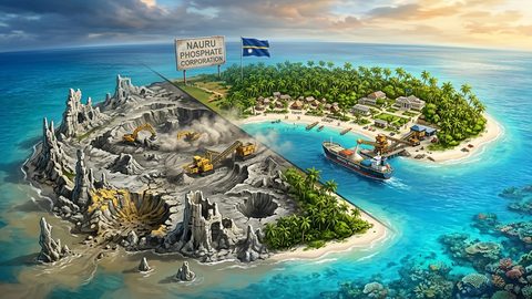 Nauru, the Pacific Republic That Phosphate Built and Nearly Erased
Nauru is one of the Pacific's most overlooked republics. A candid guide to topside, Buada Lagoon, colonial history, and how to actually get there.
Nauru, the Pacific Republic That Phosphate Built and Nearly Erased
Nauru is one of the Pacific's most overlooked republics. A candid guide to topside, Buada Lagoon, colonial history, and how to actually get there.
-
 Planning Independent Travel in the Wakhan Corridor, Tajikistan
Independent travel in Tajikistan's Wakhan Corridor: GBAO permits, road conditions from Ishkashim, realistic travel windows, and honest logistics for serious overlanders.
Planning Independent Travel in the Wakhan Corridor, Tajikistan
Independent travel in Tajikistan's Wakhan Corridor: GBAO permits, road conditions from Ishkashim, realistic travel windows, and honest logistics for serious overlanders.